
Lava Flow Trail
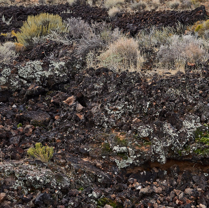
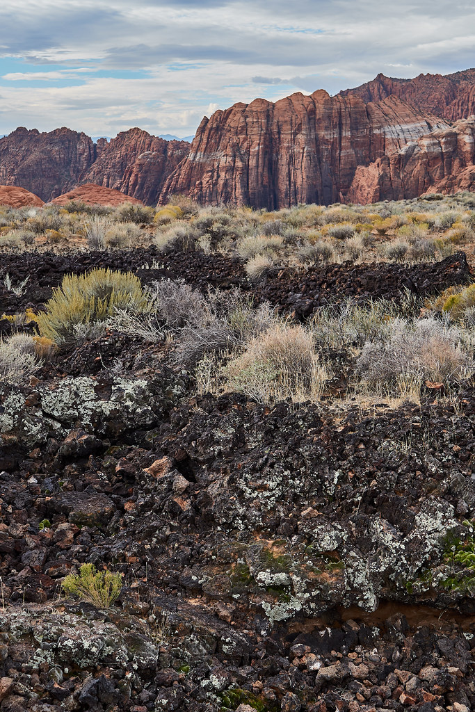
The Lava Flow Trail begins at its signed trailhead and follows a 27,000-year-old basalt flow through cactus, yucca, and ephedra. Hiking to the Lava Tubes (caves) is just ~1 mile roundtrip. Hiking to West Canyon Road (the full Lava Flow Trail) is 2.5 miles roundtrip. After crossing a dry wash, the route climbs gently across the lava field and passes interpretive signs explaining the area’s geology and cave wildlife.
Trail Details
- Difficulty Level: Moderate
- Round Trip Length: 2.5 miles
Trail Photos

More About Lava Flow Trail
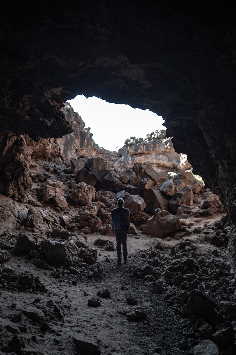
Two signed lava-tube entrances provide the trail’s signature experience. Bring a reliable flashlight if you plan to enter, and expect sharp, uneven rock underfoot. The route continues through a white-sand drainage before meeting West Canyon Road.
The Whiterocks and Butterfly trails connect with Lava Flow, making several longer route options possible. Dogs are not allowed on this trail, and visitors should remain on the marked route.
You can see Lava Flow Trail on our Snow Canyon map.
